

- Forecast
- Maps
- Live
- Weather State
- Spot Information
Chicama - El Point Surf Forecast
/ La Libertad & Lambayeque (14 surf breaks) /
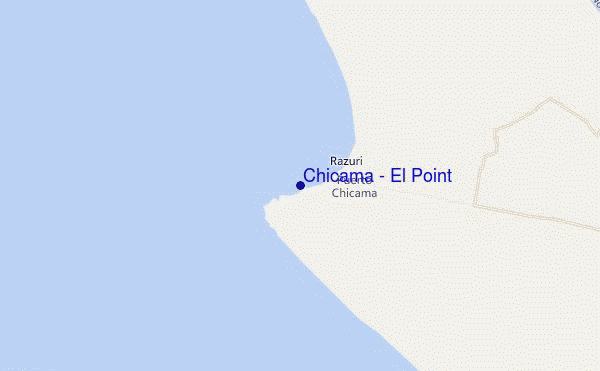
Chicama - El Point surf Forecast / La Libertad & Lambayeque / Peru
- Map Icons:
 Break
Break Live Wave Height (m)
 Live Wind Speed (km/h)
 Surf Rating (10 Max)
 Ocean Swells (m)
- Wind Speed (km/h)
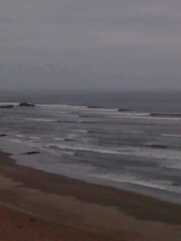
How big are the waves at Chicama - El Point today?
The current surf forecast for Chicama - El Point at 12AM is: 1.2m 11s primary swell from a South-southwest direction and 0.6m 18s secondary swell from a Southwest direction (forecast issued at 06:00pm April 24). The wind direction is predicted to be cross-shore and the swell rating is 2.
| Time (-05) & Date | Wave Height | Wave Period |
|---|---|---|
| Morning (25 Apr) | 2.5ft (0.8m) | 18s |
| Afternoon (25 Apr) | 4ft (1.2m) | 12s |
| Evening (25 Apr) | 3ft (0.9m) | 16s |
Table - waves today at Chicama - El Point. (Swell directed towards the surf break)
Wednesday 24 | Thursday 25 | Friday 26 | Saturday 27 | Sunday 28 | Monday 29 | Tuesday 30 | Wednesday 01 | Thu 02 | ||||||||||||||||||||||||||||||||||||||||||||||||||||
| 4 PM | 7 PM | 10 PM | 1 AM | 4 AM | 7 AM | 10 AM | 1 PM | 4 PM | 7 PM | 10 PM | 1 AM | 4 AM | 7 AM | 10 AM | 1 PM | 4 PM | 7 PM | 10 PM | 1 AM | 4 AM | 7 AM | 10 AM | 1 PM | 4 PM | 7 PM | 10 PM | 1 AM | 4 AM | 7 AM | 10 AM | 1 PM | 4 PM | 7 PM | 10 PM | 1 AM | 4 AM | 7 AM | 10 AM | 1 PM | 4 PM | 7 PM | 10 PM | 1 AM | 4 AM | 7 AM | 10 AM | 1 PM | 4 PM | 7 PM | 10 PM | 1 AM | 4 AM | 7 AM | 10 AM | 1 PM | 4 PM | 7 PM | 10 PM | 1 AM | |
Rating (10 max) | ||||||||||||||||||||||||||||||||||||||||||||||||||||||||||||
Swell Height Map |    |  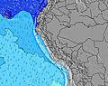 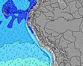 |  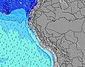 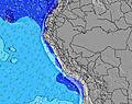 | 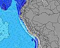 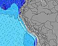 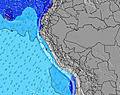 | 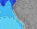 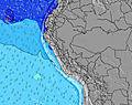 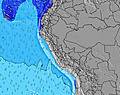 | 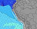 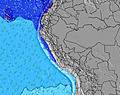 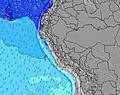 | 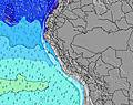 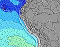 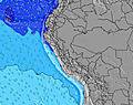 | 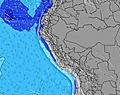 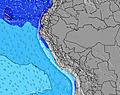 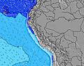 | 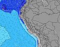 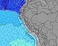 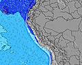 | |||||||||||||||||||||||||||||||||||||||||||||||||||
| Wave Height (m) & direction (?) | ||||||||||||||||||||||||||||||||||||||||||||||||||||||||||||
| Period(s) (?) | 12 | 12 | 11 | 11 | 18 | 18 | 18 | 13 | 12 | 16 | 16 | 16 | 16 | 16 | 16 | 15 | 15 | 15 | 15 | 15 | 15 | 16 | 16 | 16 | 15 | 15 | 14 | 14 | 14 | 14 | 14 | 14 | 14 | 14 | 14 | 14 | 17 | 16 | 16 | 16 | 16 | 15 | 15 | 15 | 14 | 14 | 14 | 14 | 14 | 14 | 14 | 13 | 13 | 13 | 13 | 13 | 13 | 13 | 12 | 16 |
Wave (?)Graph | ||||||||||||||||||||||||||||||||||||||||||||||||||||||||||||
| Energy (?) | 290 | 268 | 366 | 366 | 370 | 437 | 366 | 367 | 400 | 432 | 432 | 574 | 498 | 567 | 560 | 313 | 840 | 472 | 565 | 930 | 967 | 763 | 773 | 692 | 565 | 535 | 528 | 520 | 520 | 453 | 447 | 440 | 422 | 416 | 327 | 401 | 362 | 1122 | 1230 | 1273 | 1379 | 1344 | 1241 | 1145 | 996 | 996 | 982 | 969 | 904 | 866 | 693 | 673 | 663 | 653 | 653 | 613 | 604 | 563 | 528 | 502 |
Wind (km/h) | ||||||||||||||||||||||||||||||||||||||||||||||||||||||||||||
| Wind State (?) onshore cross-onshore cross-shore cross-offshore offshore glassy | cross | cross | cross | cross | cross | cross- off | cross | cross- on | cross | cross | cross | cross | cross | cross | cross | cross- on | cross | cross | cross | cross | cross | cross | cross | cross- on | cross | cross | cross | cross | cross | cross | cross | cross | cross | cross | cross | cross- off | cross | cross | cross | cross- on | cross | cross | cross | cross | cross- off | cross | cross | cross | cross | cross | cross | cross | cross | cross | cross | cross | cross | cross | cross | cross |
High Tide / height (m) | 4:40PM 1.19 | 5:27AM 1.27 | 5:06PM 1.14 | 6:00AM 1.25 | 5:33PM 1.10 | 6:36AM 1.21 | 6:02PM 1.04 | 7:18AM 1.17 | 6:35PM 0.99 | 8:10AM 1.13 | 7:19PM 0.92 | 9:18AM 1.11 | 8:29PM 0.86 | 10:36AM 1.14 | 10:20PM 0.84 | |||||||||||||||||||||||||||||||||||||||||||||
Low Tide / height (m) | 11:03PM 0.15 | 11:31AM 0.42 | 11:30PM 0.15 | 12:03PM 0.46 | 11:59PM 0.17 | 12:38PM 0.51 | 12:32AM 0.20 | 1:19PM 0.57 | 1:10AM 0.24 | 2:13PM 0.62 | 1:59AM 0.30 | 3:32PM 0.66 | 3:04AM 0.36 | 5:15PM 0.63 | ||||||||||||||||||||||||||||||||||||||||||||||
Wednesday 24 | Thursday 25 | Friday 26 | Saturday 27 | Sunday 28 | Monday 29 | Tuesday 30 | Wednesday 01 | Thu 02 | ||||||||||||||||||||||||||||||||||||||||||||||||||||
| Sunrise | - | - | - | - | - | 6:18 | - | - | - | - | - | - | - | 6:18 | - | - | - | - | - | - | - | 6:18 | - | - | - | - | - | - | - | 6:18 | - | - | - | - | - | - | - | 6:18 | - | - | - | - | - | - | - | 6:18 | - | - | - | - | - | - | - | 6:18 | - | - | - | - | - | - |
| Sunset | 6:10 | - | - | - | - | - | - | - | 6:10 | - | - | - | - | - | - | - | 6:10 | - | - | - | - | - | - | - | 6:09 | - | - | - | - | - | - | - | 6:09 | - | - | - | - | - | - | - | 6:09 | - | - | - | - | - | - | - | 6:08 | - | - | - | - | - | - | - | 6:08 | - | - | - |
Rain (mm) | - | - | - | - | - | - | - | - | - | - | - | - | - | - | - | - | - | - | - | - | - | - | - | - | - | - | - | - | - | - | - | - | - | - | - | - | - | - | - | - | - | - | - | - | - | - | - | - | - | - | - | - | - | - | - | - | - | - | - | - |
| Temp. °C | 21 | 21 | 20 | 20 | 20 | 20 | 22 | 22 | 22 | 21 | 21 | 20 | 20 | 20 | 21 | 22 | 21 | 21 | 21 | 21 | 20 | 20 | 22 | 22 | 21 | 20 | 20 | 20 | 19 | 19 | 21 | 21 | 21 | 20 | 20 | 19 | 19 | 19 | 21 | 21 | 21 | 20 | 20 | 19 | 19 | 20 | 20 | 21 | 21 | 20 | 20 | 19 | 19 | 19 | 20 | 21 | 21 | 20 | 19 | 19 |
| Feels °C (?) | 20 | 21 | 20 | 20 | 20 | 20 | 22 | 21 | 21 | 20 | 20 | 20 | 21 | 20 | 21 | 21 | 20 | 20 | 20 | 21 | 20 | 20 | 22 | 20 | 19 | 19 | 19 | 20 | 19 | 19 | 20 | 20 | 19 | 19 | 19 | 18 | 18 | 18 | 20 | 19 | 19 | 19 | 19 | 18 | 18 | 19 | 19 | 20 | 20 | 19 | 18 | 17 | 18 | 18 | 19 | 19 | 19 | 19 | 18 | 18 |
FREE! Surf-Forecast.com widget for your website
The surf report / weather widget below is available to embed on third party websites free of charge and provides a summary of our Chicama - El Point surf forecast. Simply grab the html code snippet that we provide and paste it into your own site. You can choose your preferred language and metric/imperial units for the surf forecast feed to suit users of your site. Click here to get the code.


 Nearest