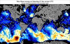
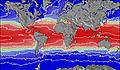
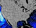
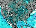
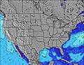
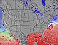
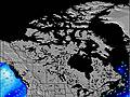
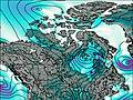
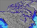
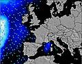
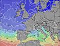
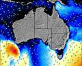
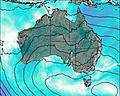
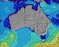
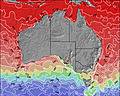
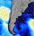
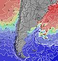
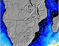
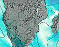
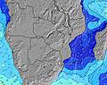
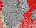
Please enable JavaScript to access the following map views:
All map types that you can enable here: Jarvis Island Mapa em cores, Base map com relevo, Altura Signif. das Ondas (Slider Tempo de Uso), Jarvis Island Máx. de Energia das Ondas, Swell 1, Swell 2, Jarvis Island Swell 1 Energy, Swell 2 Energy, Windwave Amplitude, Jarvis Island Windwave Energy, Precipitation, Wind, Jarvis Island Temperature, Cloud Cover.
Map overlays available for display: Jarvis Island Pressão, Vento.
Symbols shown on the map: Jarvis Island Locais de Surf, Previsões da Maré, Cidades, Jarvis Island Resorts de Ski, Observações das Bóias, Observações Atuais do Vento, Jarvis Island Webcams em Tempo Real, Observações Atuais da Temperatura, Observações Atuais do Tempo, Jarvis Island Previsões de neve, cidade, surf e maré.
A sustentação do Javascript deve ser girada sobre a fim usar estes mapas animados do swell. De vez em quando visite nosso mapas básicos de swell de Jarvis Island onde cada uma se torna uma imagem separada.